
Fógra
WARNING: It should be noted that these sites are unguided and a level of care and caution should be maintained during all stages of your visit. The Office Of Public Works (OPW) will not be held responsible for any damages, injuries, or losses that occur
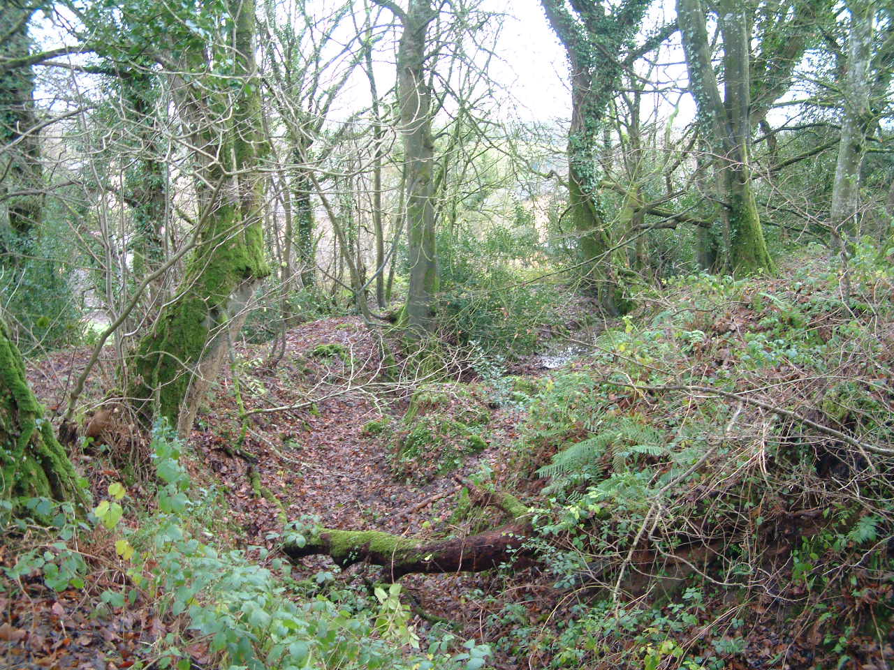
Errigal Ringfort
Errigal Ringfort, situated in the south-west facing slope of a drumlin, overlooks the Annalee River to the south. The ringfort is defined by an inner earthen bank and flat-bottomed fosse and an outer bank, making Errigal a bivallate ringfort.
The entrance, 2m wide, to the ringfort was from the SSE. Errigal Ringfort has a diameter of 34m and slopes towards the south. The inner earthen bank encloses the ringfort is at its highest of 3.3m at the western side. Ringforts are found throughout the country and over 60,000 examples have been identified. They were typically built in the Early Medieval period, and were homesteads for families and animals.
Visit Historic Environment Viewer for more information on Errigal Ringfort
Protect our Past - Click here to read about the importance of protecting our country’s unique heritage sites
This national monument is protected in accordance with the National Monuments Acts 1930 to 2014
Gailearaí
Suíomhanna cóngarach
Reilig Mheigiliteach Loch Craobh
Buaicphointe na healaíne agus an dearaidh Neoilitigh
Timpeall 36.1 km ón
Mainistir Bhaile Fhobhair
Aimsigh oidhreacht rúndiamhair Naomh Feichín
Timpeall 43.6 km ón
Láithreán Mainistreach Chistéirseach na Seanmhainistreach Móire
Tabhair cuairt ar an gcéad áit a bhunaigh na Cistéirsigh in Éirinn
Timpeall 55.0 km ón

Ionad Cuairteoirí Chath na Bóinne – Eastát an tSeandroichid
Áit ar throid beirt ríthe ar mhaithe le todhchaí na hEorpa
Timpeall 58.7 km ón
Caisleán Chairlinn
Timpeall 59.4 km ón
Ionad Cuairteoirí Bhrú na Bóinne: Sí an Bhrú, Cnóbha agus Dubhadh
Tabhair cuairt ar an tírdhreach seandálaíochta is saibhre in Éirinn
Timpeall 59.5 km ón