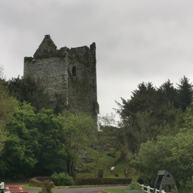
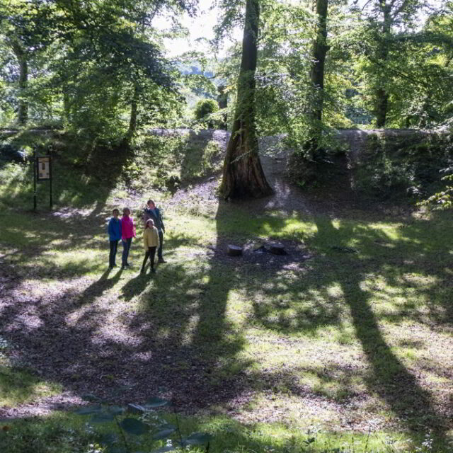
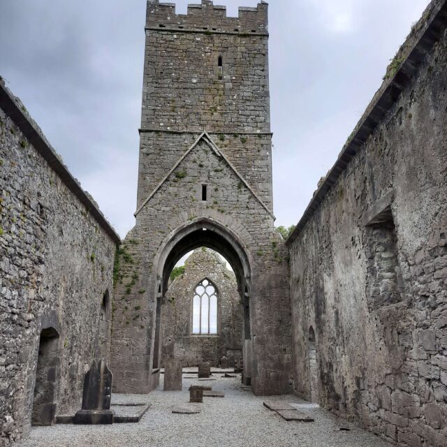
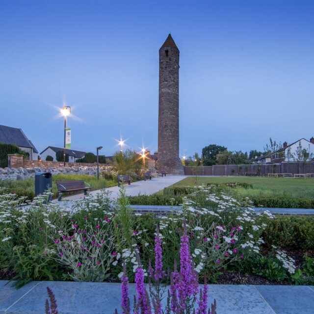
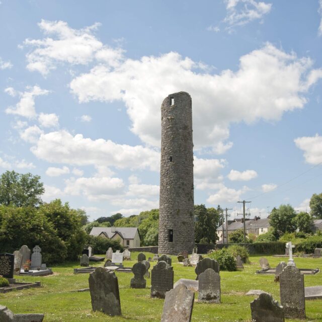
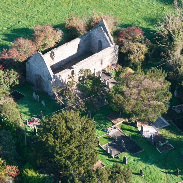
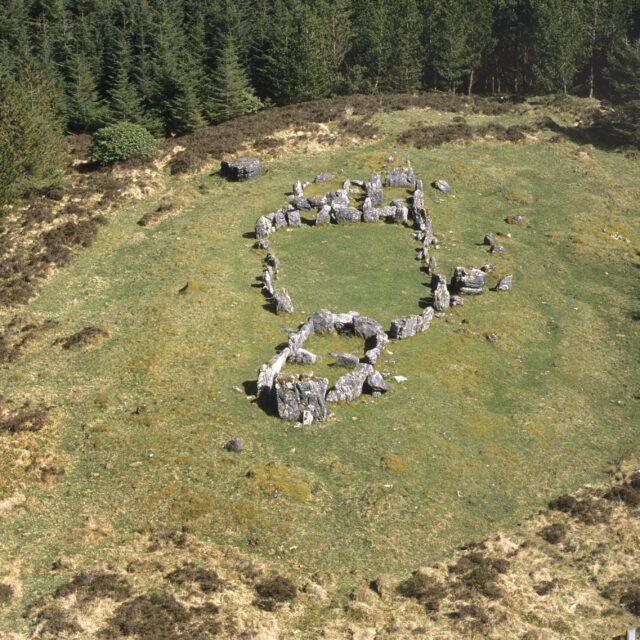
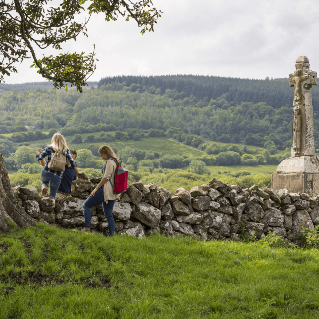
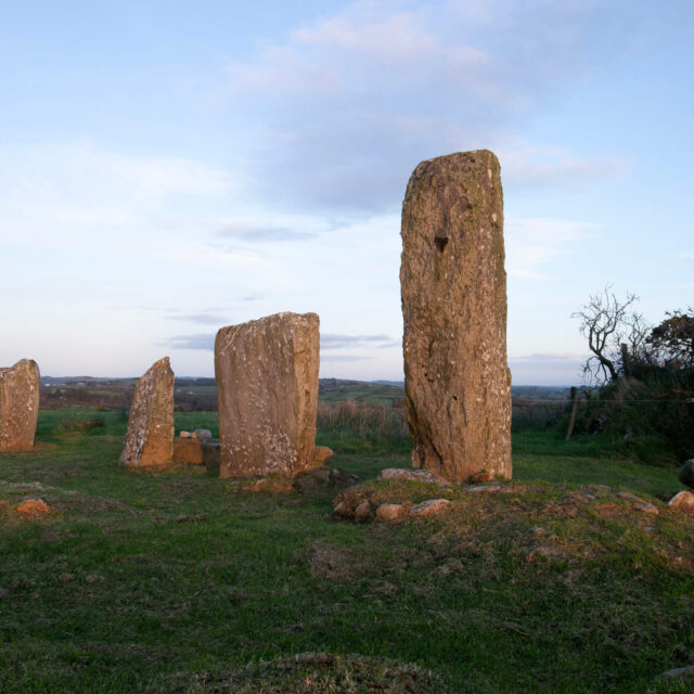
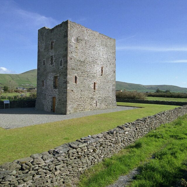
154 suíomhanna
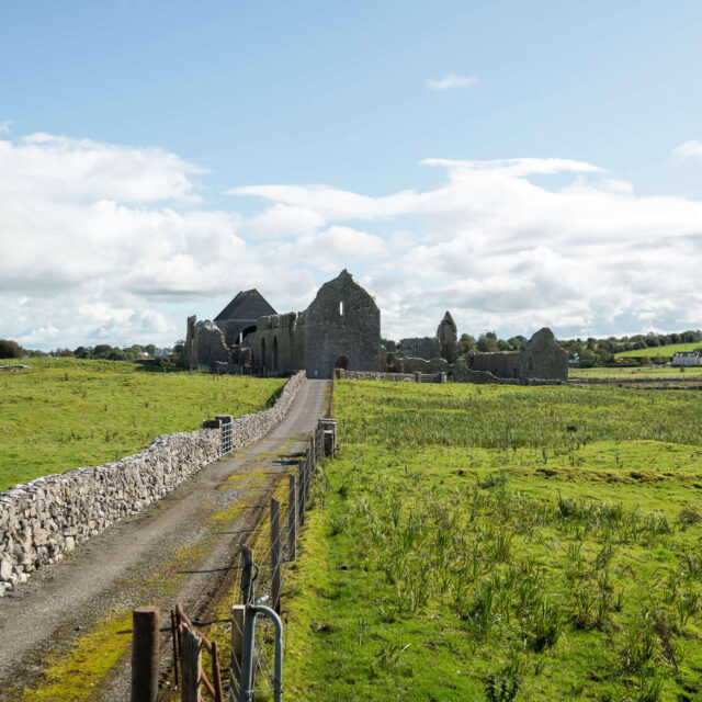
![Mainistir Chistéirseach Mhainistir Chnoc Muaidhe]()
Mainistir Chistéirseach Mhainistir Chnoc Muaidhe
Bunaithe ag duine de Ríthe na hÉireann is mó a raibh eagla roimhe
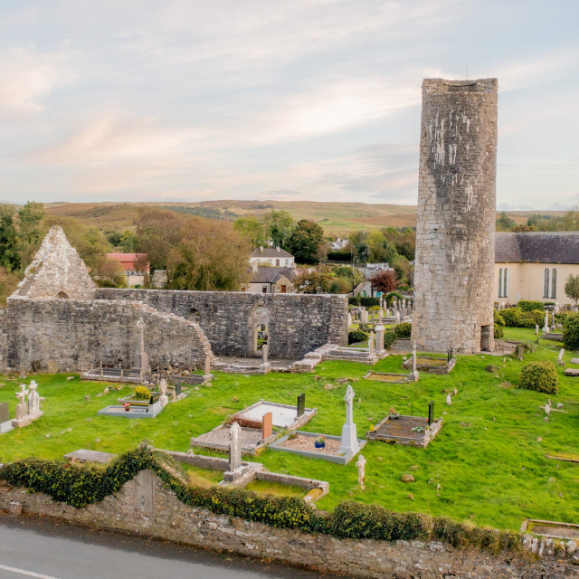
![Cloigtheach agus Séipéal Achadh Ghobhair]()
Cloigtheach agus Séipéal Achadh Ghobhair
Mainistir atá suite ar shlí oilithreachta thábhachtach
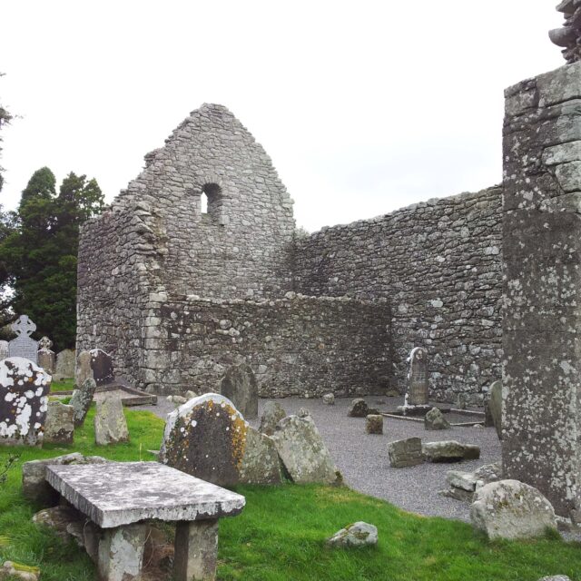
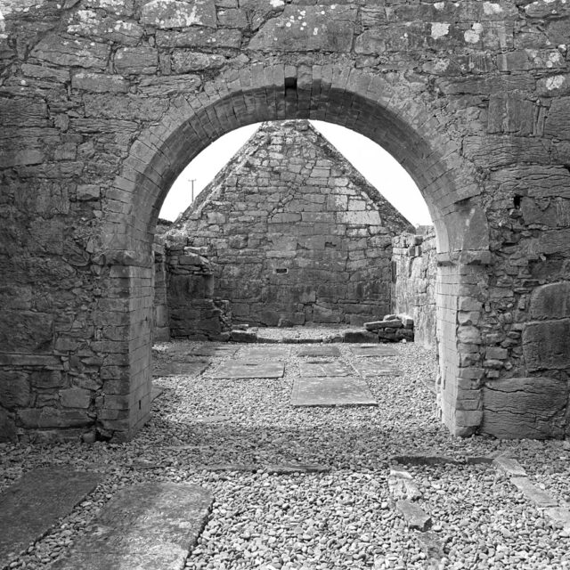
![Eaglais Achadh Abhall]()
Eaglais Achadh Abhall
“Gort na gcrann úll”
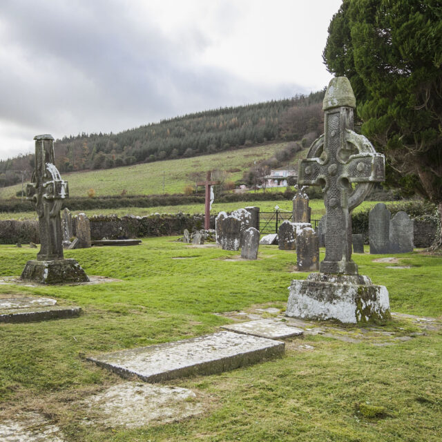
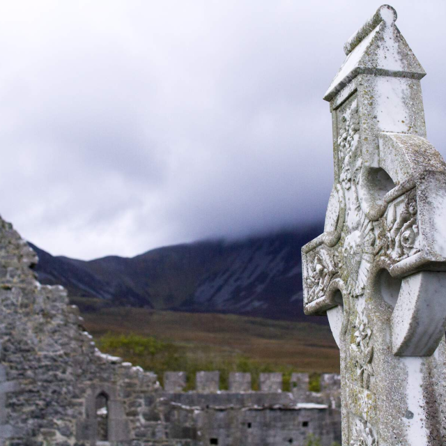
![Ardchrosa Áth Eine]()
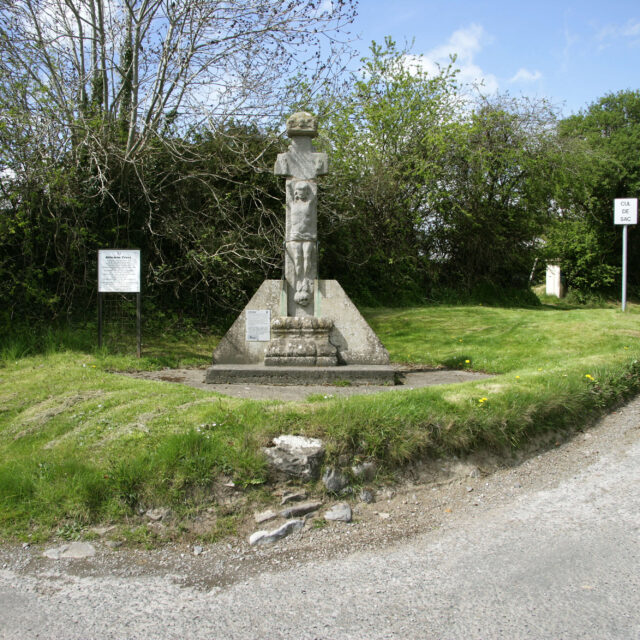
Ardchrosa Áth Eine
Ardchrosa atá mar chuid de Ghrúpa Osraí
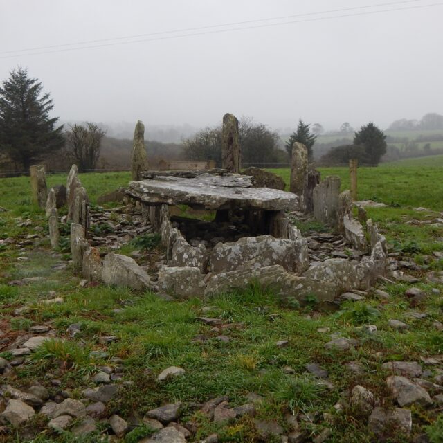
![Altar Wedge Tomb]()
Altar Wedge Tomb
Altar - a name that perhaps references this wedge tomb's use
![Mainistir Phroinsiasach Ard Fhearta]()
Mainistir Phroinsiasach Ard Fhearta
Mainistir Phroinsiasach lena ngabhann stair shuimiúil
![Ardeaglais, Cloigtheach, agus Aireagal Airde Móire]()
Ardeaglais, Cloigtheach, agus Aireagal Airde Móire
Bunaithe ag Naomh Éireannach Luath, Naomh Déaglán
![Mainistir Phroinsiasach Eas Géitine]()
Mainistir Phroinsiasach Eas Géitine
Mainistir Phroinsiasach atá suite go síochánta ar bhruach na Daoile
![Athassel Augustinian Priory]()
Athassel Augustinian Priory
One of the largest medieval priories in Ireland
![Cros Bhán Áth Carn]()
Cros Bhán Áth Carn
Cros chuimhneacháin arna cur in airde ag bean i gcuimhne ar a fear céile
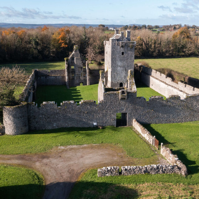
![Athlumney Castle]()
Athlumney Castle
Originally built by the powerful Dowdall Family
![Balla Round Tower]()
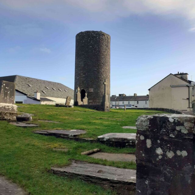
Balla Round Tower
A round tower that was cut in half to accommodate a bell
![Mainistir Agaistíneach Bhaile an Sceilg]()
Mainistir Agaistíneach Bhaile an Sceilg
Áit urnaí eile do mhanaigh Sceilg Mhichíl
![Mainistir Agaistíneach Bhaile an Tobair]()
Mainistir Agaistíneach Bhaile an Tobair
Níos mó ná 800 bliain de chreideamh agus de chráifeacht
![Ballybeg Augustinian Priory]()
Ballybeg Augustinian Priory
A once wealthy monastic settlement in Ballybeg West
![Lios Bhaile Cumaisc]()
Lios Bhaile Cumaisc
Tugtar léargas ar an am atá thart trí dhúshraitheanna agus trí pháirceanna ársa
![Lios Bhaile an Londraigh]()
Lios Bhaile an Londraigh
Lios iontach a thugann léargas ar an Meánaois in Éirinn
![Caisleán Bhéal Átha Málais]()
Caisleán Bhéal Átha Málais
Arna dhearadh de réir stíl túrthí
![Ballynacarriga Castle]()
Ballynacarriga Castle
A typical Irish Tower House
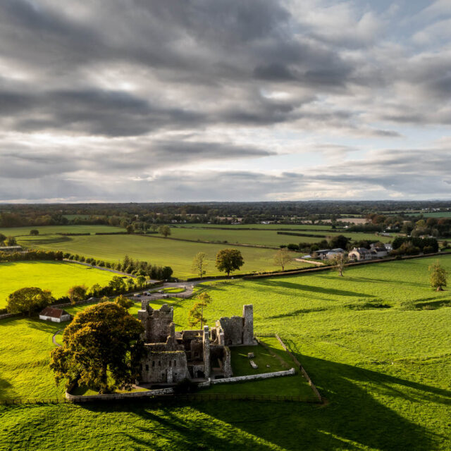
![Bective Cistercian Abbey]()
Bective Cistercian Abbey
Founded by the King of Meath for the Cistercian Order
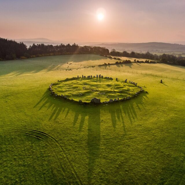
![Beltany Stone Circle]()
Beltany Stone Circle
A monument with possible connections to the Festival of Beltaine
![Béal Ború (Dún Bhriain Bhóramha)]()
Béal Ború (Dún Bhriain Bhóramha)
Suíomh Ardrí míchlúiteach na hÉireann
![Caisleán agus Túirín an Teampaill Loiscthe]()
Caisleán agus Túirín an Teampaill Loiscthe
Caisleán a ainmníodh i ndiaidh an scriosta a rinneadh air
![Mainistir Phroinsiasach Chill na Mallach]()
Mainistir Phroinsiasach Chill na Mallach
Mainistir Phroinsiasach faoi néal drochstaire
![Caiseal Chathair Chomáin]()
Caiseal Chathair Chomáin
Caiseal atá ag coimhéad amach ar thírdhreach garbh Bhoirne
![Cahermacnaghten Ringfort]()
Cahermacnaghten Ringfort
Part of an extensive multi-period field system
![Lios Cahervagliar]()
Lios Cahervagliar
Daingean na Ríthe
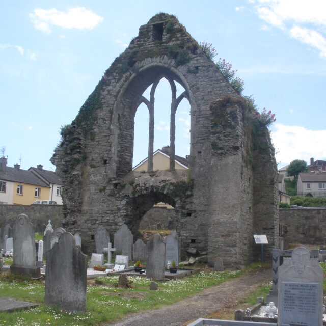
![Prióireacht Agaistíneach na Cathrach]()
Prióireacht Agaistíneach na Cathrach
Prióireacht Mhuire
![Caisleán Aircín]()
Caisleán Aircín
Caisleán a bhí mór le rá tráth den saol agus a mbaineann stair éagsúil leis
![Mainistir Dhoiminiceach Chairlinn]()
Mainistir Dhoiminiceach Chairlinn
Mainistir a bhunaigh an fear ar ar tugadh an tIarla Rua
![Carraig Aille, Loch Goir]()
Carraig Aille, Loch Goir
Péire liosanna a nocht seoda ón am atá thart
![Carron Henge – Rathnadov]()
Carron Henge – Rathnadov
Part of a larger royal complex
![Carron Ringfort]()
Carron Ringfort
A fine example of a trivallate ringfort
![Castledermot Franciscan Friary]()
Castledermot Franciscan Friary
A friary built on lands granted by Strongbow
![Castledermot Round Tower]()
Castledermot Round Tower
Part of a monastic site founded by Saint Diarmuid
![Castledonovan Castle]()
Castledonovan Castle
Once the home of the O'Donovan Clan
![Prióireacht Chairmilíteach Chaisleán Ó Liatháin]()
Prióireacht Chairmilíteach Chaisleán Ó Liatháin
Prióireacht a bhí faoi phátrúnacht ceann de na teaghlaigh ba shaibhre i gCorcaigh i dtús báire
![Oileán an Teampaill, Cuan Bhéil Inse]()
Oileán an Teampaill, Cuan Bhéil Inse
Oileán beag amach i gCuan Bhéil Inse
![Mainistir Agaistíneach an Chláir]()
Mainistir Agaistíneach an Chláir
Mainistir arna bunú ag Rí
![Clondalkin Round Tower]()
Clondalkin Round Tower
Once part of a monastic site founded by Saint Mochua
![Clones Round Tower, Church and High Cross]()
Clones Round Tower, Church and High Cross
Part of an early monastic settlement founded by Saint Tighernach
![Teampall Chluain Caoin]()
Teampall Chluain Caoin
Fothrach meabhrúcháin an chreidimh agus an chuimhnimh
![Séipéal Coláisteach Naomh Peadar agus Naomh Pól]()
Séipéal Coláisteach Naomh Peadar agus Naomh Pól
Séipéal atá tiomnaithe do Naomh Peadar agus do Naomh Pól, arna stiúradh ag coláiste cléireach
![Caisleán Chonaithe]()
Caisleán Chonaithe
Caisleán ar iomaí duine a raibh seilbh acu air le himeacht na mblianta
![Baois Uí Chonghaile]()
Baois Uí Chonghaile
Séadchomhartha 140 troigh ar airde a tógadh le haghaidh fhóirithint na mbocht
![Galláin Chuar Chuallachta]()
Galláin Chuar Chuallachta
Séadchomhartha nach dtabharfá aon suntas dó ach a bhfuil tábhacht ollmhór leis
![Caisleán Chúil Choll]()
Caisleán Chúil Choll
Sampla breá de theach daingnithe ar Shlí na Normannach
![Mainistir Chistéirseach Chorca Mrua]()
Mainistir Chistéirseach Chorca Mrua
Mainistir Chistéirseach a bhfuil radhairc leathanléargais ar shléibhte Bhoirne uaithi
![Mainistir Phroinsiasach na Craoibhe Léithe]()
Mainistir Phroinsiasach na Craoibhe Léithe
Fothracha breátha na Mainistreach Proinsiasaí deiridh a bunaíodh in Éirinn
![Créfort na Coise]()
Créfort na Coise
Gréasán casta de pháirceanna agus imfháluithe ársa
![Teachín De Valera]()
Teachín De Valera
Faigh spléachadh ar shaol Éamon de Valera, mar a bhí i dtús aimsire
![Derrynaflan Monastic Site]()
Derrynaflan Monastic Site
The site where the Derrynaflan Chalice was discovered
![Lonnaíocht Mhainistreach Dhoire Mheille]()
Lonnaíocht Mhainistreach Dhoire Mheille
Séadchomhartha don chreideamh agus do thoirbhirt
![Díseart Aonghasa Ecclesiastical Site]()
Díseart Aonghasa Ecclesiastical Site
A medieval ecclesiastical site founded by Óengus of Tallaght
![Donaghmore Round Tower and Church]()
Donaghmore Round Tower and Church
Part of an ecclesiastical site that was founded by the Patron Saint of Ireland
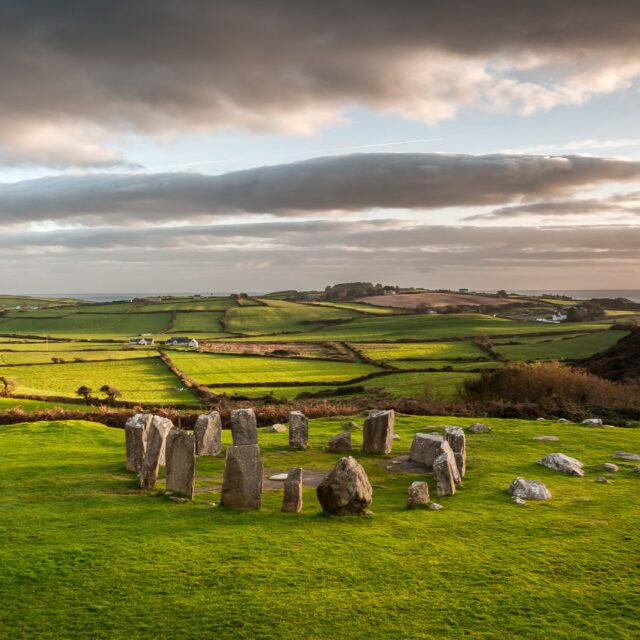
![Drombeg Stone Circle]()
Drombeg Stone Circle
One of the finest examples of Stone Circles in Ireland
![Eaglais Dhroim Ineasclainn, Ardchros, agus Cloigtheach]()
Eaglais Dhroim Ineasclainn, Ardchros, agus Cloigtheach
Mainistir arna bunú ag Rí Mumhan, nó ag Naomh
![Drumcliff Round Tower and High Crosses]()
Drumcliff Round Tower and High Crosses
County Sligo’s only round tower
![Séipéal agus Cloigtheach Dhroim Chliabh]()
Séipéal agus Cloigtheach Dhroim Chliabh
Séipéal a bhféadfadh sé gur bhuail tintreach é
![Caisleán Dhroim Tharsna]()
Caisleán Dhroim Tharsna
Caisleán a bhfuil stair bhrúidiúil thubaisteach aige
![Mainistir agus Cloigtheach Dhroim Leathan]()
Mainistir agus Cloigtheach Dhroim Leathan
Mainistir a bhfuil baint ag Naoimh agus Tiarnaí Gaelacha léi
![Dún Eochla]()
Dún Eochla
Áras thaoisigh mhóra na linne
![Dún Eoghanachta]()
Dún Eoghanachta
Lios a ainmníodh in ómós an teaghlaigh chumhachtaigh a raibh smacht acu ar an oileán tráth dá raibh
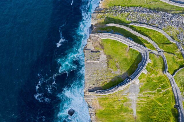
![An Dún Beag]()
An Dún Beag
Séadchomhartha ar imeall an domhain
![Caisleán Dhún Mó]()
Caisleán Dhún Mó
Caisleán a cuireadh trí thine roinnt uaireanta
![Caisleán Dhún Mór]()
Caisleán Dhún Mór
Is iomaí leagan den chaisleán feicthe againn leis na cianta
![Dún Trí Liag (An Chluain Mhór)]()
Dún Trí Liag (An Chluain Mhór)
Áit adhlactha Rí Ailill Aulom, a cheaptar
![Láthair Mhainistreach Dhíseart Uí Dheá]()
Láthair Mhainistreach Dhíseart Uí Dheá
Láthair mhainistreach a bhfuil clú uirthi as a gnéithe Rómhánúla agus a miondearaí
![Sraith Gallán Fhearann na hIníne]()
Sraith Gallán Fhearann na hIníne
Galláin a bhfuil ceangal acu leis an ngrian
![Caisleán Ghallarais]()
Caisleán Ghallarais
Caisleán a tógadh don Ridire Glas
![Séipéilín Ghallarais]()
Séipéilín Ghallarais
Gallaras: "Croíleacán dorcha, sean faoi chosaint cloch”
![Caisleán Ghleannúrach]()
Caisleán Ghleannúrach
Siombail a chuireann tionchar agus cumhacht i gcuimhne
![Caisleán Ghleann Eidhneach]()
Caisleán Ghleann Eidhneach
Caisleán a tógadh do mhuintir Mhic Lochlainn sa Bhoirinn
![Caisleán na Greallaí]()
Caisleán na Greallaí
Séadchomhartha a ghabhann siar go dtí ríshliocht de Buitléir
![Granard Motte and Bailey]()
Granard Motte and Bailey
Built to advance Norman control
![Ciorcal Liag na Gráinsí]()
Ciorcal Liag na Gráinsí
Ciorcal liag ón gCré-umhaois suite laistigh de thírdhreach álainn Loch Goir
![Clocha Oghaim Phlácais]()
Clocha Oghaim Phlácais
Marcanna teanga eile greanta i gcloch
![Grianán Ailigh]()
Grianán Ailigh
Caiseal álainn ar mhullach Chnoc an Ghrianáin
![Mainistir Chistéirseach Bhaile na gCailleach – Foirgneamh Otharlainne]()
Mainistir Chistéirseach Bhaile na gCailleach – Foirgneamh Otharlainne
Na fothracha atá fágtha den Mhainistir Chistéirseach bhunaidh
![An Mhainistir Liath – Mainistir Chistéirseach]()
An Mhainistir Liath – Mainistir Chistéirseach
Is léir an stíl Ghotach anseo
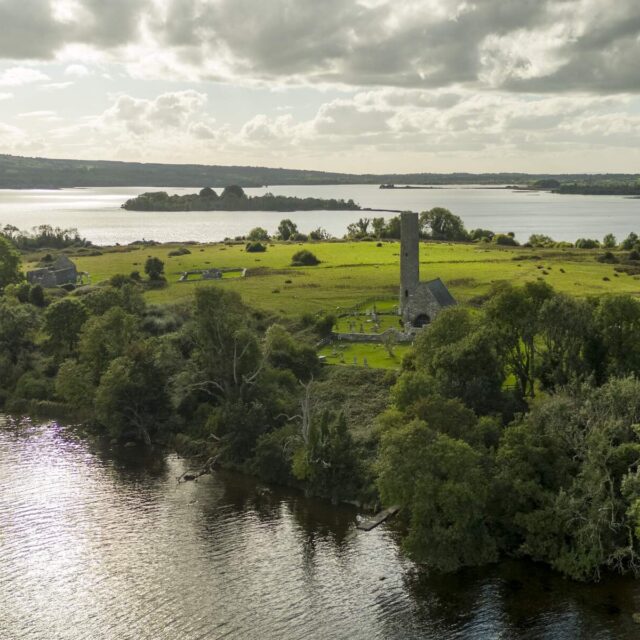
![Mainistir Oileán Lócháin]()
Mainistir Oileán Lócháin
Láthair mhainistreach a bhí mar áit adhlactha ag mórán
![Láithreán Mainistreach Oileán tSeanaigh]()
Láithreán Mainistreach Oileán tSeanaigh
Ceann de na hoileáin is mó d’Oileáin an Mhachaire
![Láthair Mhainistreach Inis Cealtra]()
Láthair Mhainistreach Inis Cealtra
Láthair mhainistreach a bhfuil baint aici le hArdrí na hÉireann
![Island Wedge Tomb]()
Island Wedge Tomb
One of over five-hundred Wedge Tombs to exist in Ireland
![James Fort]()
James Fort
A location built to defend Kinsale Harbour from attack
![Kanturk Castle]()
Kanturk Castle
Originally built for defence
![Kells Monastic Site]()
Kells Monastic Site
Once the home of the famous Book of Kells
![Caisleán Chill Bhláin]()
Caisleán Chill Bhláin
Cuid de líne Caisleán a bhfuil ceangal acu le Ridirí Normannacha
![Mainistir Chistéirseach Chill Chúile]()
Mainistir Chistéirseach Chill Chúile
Mainistir Chistéirseach le ceangal le Teaghlach cumhachtach Urumhan
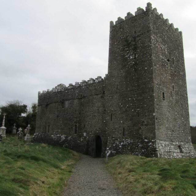
![Kilcrea Franciscan Friary]()
Kilcrea Franciscan Friary
The friary where a, now rare, manuscript was written
![Ardeaglais agus Ardchrosa Chill Fhionnúrach]()
Ardeaglais agus Ardchrosa Chill Fhionnúrach
Cill Fhionnúrach: cathair cháiliúil na n ardchros
![Mainistir Agaistíneach Chill Eoin]()
Mainistir Agaistíneach Chill Eoin
Cuid de bhailiúchán stairiúil Mainistreacha laistigh de bhaile Inse
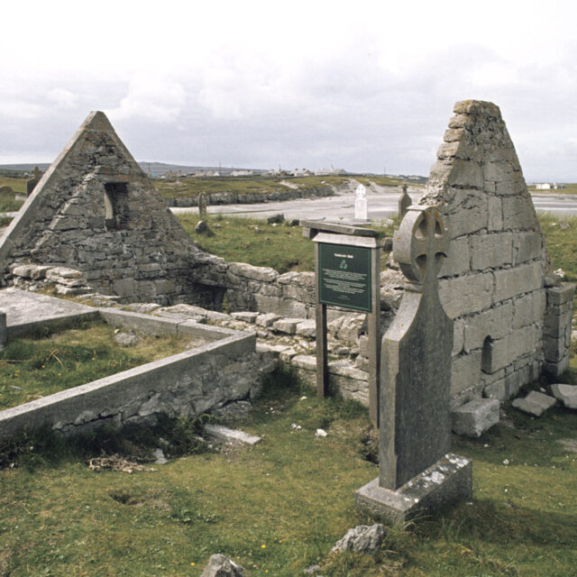
![Teampall na Cille]()
Teampall na Cille
Cuid de bhealach oilithrigh ársa atá nasctha le Naomh Bréanainn an Loingseoir
![Prióireacht Dhoiminiceach Chill Mocheallóg]()
Prióireacht Dhoiminiceach Chill Mocheallóg
Siombail de stair mheánaoiseach Chill Mocheallóg
![Tuama Ursanach Chill Mhóg]()
Tuama Ursanach Chill Mhóg
An dolmain is airde in Éirinn
![Kilnaruane Pillar Stone]()
Kilnaruane Pillar Stone
A decorated Pillar Stone containing designs and stories
![Caisleán Bhaile an Chinléigh]()
Caisleán Bhaile an Chinléigh
Caisleán a bhfuil cúlra mistéireach ag baint leis
![Caisleán an Rí]()
Caisleán an Rí
Seoid Chill Mocheallóg
![Kinneigh Round Tower]()
Kinneigh Round Tower
A round tower that was once part of a monastic settlement in Kinneigh
![Caiseal Chnoc Droma]()
Caiseal Chnoc Droma
Caiseal athchóirithe a bhreathnaíonn amach ar an Aigéan Atlantach
![Knockgraffon Motte and Bailey]()
Knockgraffon Motte and Bailey
A motte built by the Normans
![Cnoc na Riabh – Tuama Bhanríon Medb]()
Cnoc na Riabh – Tuama Bhanríon Medb
Tuama oiriúnach do Bhanríon agus Gaiscíoch
![Tuama Pasáiste an Chnoic Rua]()
Tuama Pasáiste an Chnoic Rua
Tuama pasáiste a théann siar go haois Shí an Bhrú
![Labbacallee Wedge Tomb – Giants Grave]()
Labbacallee Wedge Tomb – Giants Grave
Ireland's largest Wedge Tomb
![Labbamolaga Ecclesiastical Enclosure]()
Labbamolaga Ecclesiastical Enclosure
The Ecclesiastical Enclosure known as Saint Molaga’s Bed
![Caisleán Léim an Eich]()
Caisleán Léim an Eich
Túrtheach daingnithe ina raibh máistreás iomráiteach
![Liscarroll Castle]()
Liscarroll Castle
A castle that has witnessed much bloodshed
![Mainistir Phroinsiasach Lios Laictín]()
Mainistir Phroinsiasach Lios Laictín
Uaigh shíoraí bhunaitheoir na mainistreach
![Lios an Lóthair]()
Lios an Lóthair
Suite laistigh de cheann de na suíomhanna is deise sa tír
![Lusk Round Tower and Belfry]()
Lusk Round Tower and Belfry
A round tower with fascinating mythological and historical stories
![Mallow Castle]()
Mallow Castle
Part of a complex of buildings in Mallow town
![Sraith Gallán Mhacha na Sailí]()
Sraith Gallán Mhacha na Sailí
Séadchomhartha atá suite laistigh de cheantar álainn Knockbreteen
![Teach na gCeannaithe, Cill Mocheallóg]()
Teach na gCeannaithe, Cill Mocheallóg
Teach meánaoiseach atá mar chuid de ghréasán Séadchomharthaí Náisiúnta i gCill Mocheallóg
![Áit Bhreithe Mhichíl Uí Choileáin]()
Áit Bhreithe Mhichíl Uí Choileáin
Baile dúchais an Fhir Mhóir
![Mainistir Chistéirseach Mainistir an Aonaigh]()
Mainistir Chistéirseach Mainistir an Aonaigh
Léiriú ar chráifeacht agus ar mharthanas
![Monasterboice Round Tower, Church, and High Crosses]()
Monasterboice Round Tower, Church, and High Crosses
Part of a monastic settlement founded by Saint Boetius
![Mooghaun Hillfort]()
Mooghaun Hillfort
A Bronze Age Hillfort with ceremonial importance
![Mainistir Phroinsiasach an Mhúir]()
Mainistir Phroinsiasach an Mhúir
Mainistir a bhunaigh Rí Thuamhan
![Mount Gabriel Mining Complex]()
Mount Gabriel Mining Complex
One of the earliest examples of copper mining in northern Europe
![Séipéil Mhungairit]()
Séipéil Mhungairit
Séadchomhartha Náisiúnta lena ngabhann trí shéipéal dhifriúla
![Mainistir Agaistíneach Mhuraisce]()
Mainistir Agaistíneach Mhuraisce
Fothracha Mainistreach Agaistíní faoi scáil Chruach Phádraig
![Na Seacht dTeampaill]()
Na Seacht dTeampaill
Tá finscéal Bhreacáin le sonrú fós taobh istigh de na ballaí seo
![North Abbey – Dominican Friary]()
North Abbey – Dominican Friary
Founded by the same man who founded Youghal
![Caisleán na Pailíse]()
Caisleán na Pailíse
Ba le teaghlach a raibh an-fhéith reibiliúnach iontu an caisleán seo tráth dá raibh
![Mainistir na nDoiminiceach ag Port Omna]()
Mainistir na nDoiminiceach ag Port Omna
Eaglais phrióireachta Chistéirseach a ndearnadh Mainistir de chuid na nDoiminiceach de
![Tuama Ursanach Pholl na Brón]()
Tuama Ursanach Pholl na Brón
Uaigh shíoraí
![Proleek Dolmen]()
Proleek Dolmen
A place where giants now sleep
![Mainistir Phroinsiasach Chuinche]()
Mainistir Phroinsiasach Chuinche
Mainistir Phroinsiasach a tógadh taobh istigh de bhallóga caisleáin
![Mainistir Dhoiminiceach Ráth Bhrannaibh]()
Mainistir Dhoiminiceach Ráth Bhrannaibh
Mainistir ar fiú ór í
![Cloigtheach Ráth Tuaidh]()
Cloigtheach Ráth Tuaidh
An t-aon chloigtheach slán atá fós ann i gContae Chiarraí
![Teach Doiminiceach Mhainistir na Carraige, Gleannúir]()
Teach Doiminiceach Mhainistir na Carraige, Gleannúir
Mainistir Dhoiminiceach atá suite laistigh de ghréasán saibhir stairiúil séadchomharthaí
![Carraig Dhún Másc]()
Carraig Dhún Másc
Suíochán Ríthe ársa na hÉireann
![Mainistir Phroinsiasach Mhainistir an Rois]()
Mainistir Phroinsiasach Mhainistir an Rois
Sracfhéachaint iontach ar an Mainistir Phroinsiasach is fearr caomhnaithe in Éirinn
![Mainistir Phroinsiasach Ros Eirc]()
Mainistir Phroinsiasach Ros Eirc
Ceann de na mainistreacha is fearr caomhnaithe ón meánaois in Éirinn
![Mainistir Phroinsiasach Inis Arcáin]()
Mainistir Phroinsiasach Inis Arcáin
Séadchomhartha ina bhfuil radhairc den scoth ar an Aigéan Atlantach
![Feart Fáinneach agus Carn na Sceiche]()
Feart Fáinneach agus Carn na Sceiche
Séadchomhartha Náisiúnta atá ar maos i stair Neoiliteach na hÉireann
![Slade Castle]()
Slade Castle
A tower house built by the Laffan family
![St. Berrihert’s Kyle]()
St. Berrihert’s Kyle
Remaining cross slabs mark the final resting place
![St. Columb’s House/Cell]()
St. Columb’s House/Cell
Speculated to have once housed the world famous Book of Kells
![St. Dominick’s Dominican Priory]()
St. Dominick’s Dominican Priory
A priory dedicated to Saint Dominick
![St. Laurence’s Gate]()
St. Laurence’s Gate
A gate that was once used as a defensive measure
![Caiseal na Stéige]()
Caiseal na Stéige
Caiseal ársa go cluthar i ngleann síothúil
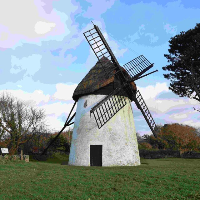
![Tacumshane Windmill]()
Tacumshane Windmill
The last working windmill of its kind in Ireland
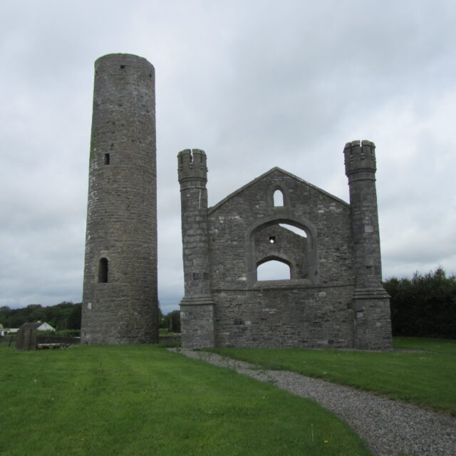
![Taghadoe Round Tower and Church]()
Taghadoe Round Tower and Church
Founded by the abbot of Clonmacnoise: Saint Tua
![Taghmon – St. Munna’s Church]()
Taghmon – St. Munna’s Church
Named after Saint Fintan Munnu
![Teaghlach Éinne]()
Teaghlach Éinne
Cuid de láthair mhainistreach a bhunaigh éarlamh an oileáin
![Teampall Bheanáin]()
Teampall Bheanáin
Teampall atá suite in áit iontach ar an oileán
![Teampall Chiaráin]()
Teampall Chiaráin
Séadchomhartha ina bhfuil leigheas ar ghéaga frithire
![Teampall MhicDuach]()
Teampall MhicDuach
Coinnigh do sciatháin le do thaobhanna ag an teampall seo
![Na Spéaclaí, Loch Goir]()
Na Spéaclaí, Loch Goir
Séadchomhartha umhal ina dtugtar léargas ar an saol san am atá thart
![Timahoe Round Tower and Church]()
Timahoe Round Tower and Church
Part of a monastic settlement founded by Saint Mochua
![Mainistir Phroinsiasach Thigh Molaige]()
Mainistir Phroinsiasach Thigh Molaige
Mainistir stairiúil atá suite in áit álainn ar bhruach an Airgidín
![Toureen Peakaun Church]()
Toureen Peakaun Church
Part of a seventh century monastic site
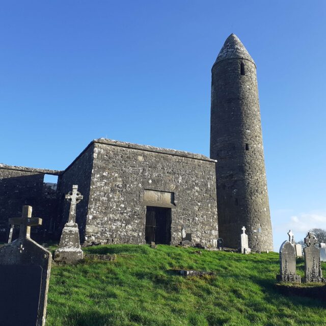
![Turlough Round Tower and Church]()
Turlough Round Tower and Church
Part of an early medieval monastic site founded by Saint Patrick
